Chat with us
on Discord
Fully managed spatial data and logic platform
Hivekit Cloud is a developer platform designed as the data-backbone for spatial applications. It provides application programming interfaces (APIs) and software development kits (SDKs) that allow developers to track and monitor the movement of people and vehicles, stream real-time updates, and execute predefined logic based on spatial events. Hivekit Cloud is built to handle large-scale, complex, and spatially-aware applications, taking the heavy lifting off the developers' shoulders and enabling them to focus on creating better user-centered experiences without having to worry about the infrastructure powering them.
Hivekit is an API platform - it does not provide maps or routing, deep spatial analysis capabilities, or domain-specific features like fleet management - although all of these can be built on top of it. You can learn more about how Hivekit fits into the ecosystem of spatial offerings here.
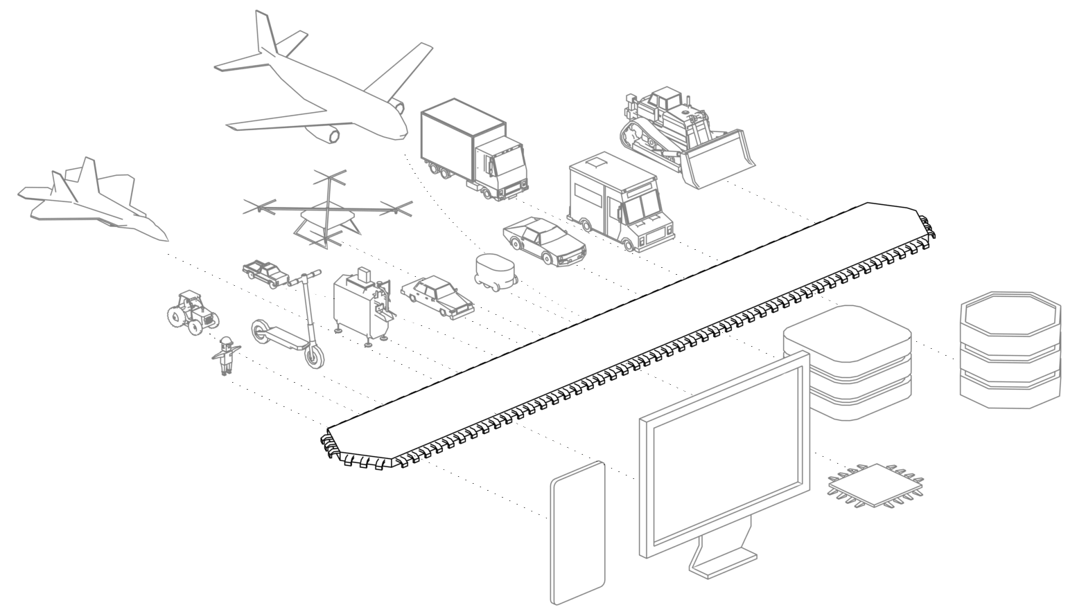
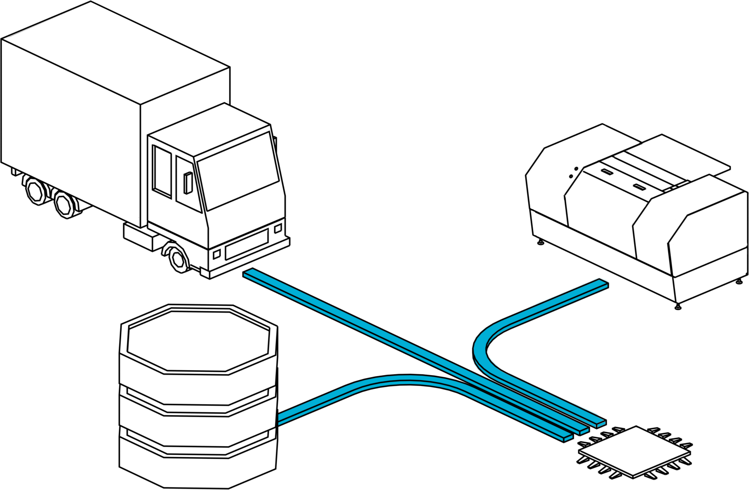
Ingest and process large volumes of location and object-specific data, such as battery levels, driver information, current tasks, or route points. Whether the data originates from vehicles, smartphones, machinery, or servers, Hivekit Cloud aggregates all sources into a normalized and interconnected data layer.
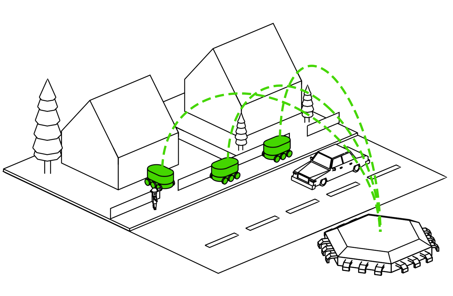
We designed Hivekit as a scalable backbone for large, end-user-focused geospatial applications. Websites and Mobile Apps can query the platform via HTTP, or receive highly configurable real-time update feeds via WebSocket. This means that developers don't have to run the complex infrastructure required to stream out map movements to millions of end users.
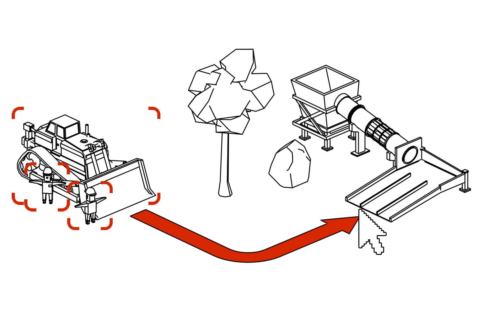
Hivekit's powerful rules engine enables developers to script behaviors based on geo events. Whether it's triggering alerts when a vehicle leaves a predefined area, sending notifications based on proximity to a specific location, or any other geo-based events, Hivekit Cloud makes it easy to incorporate spatial logic into your application.
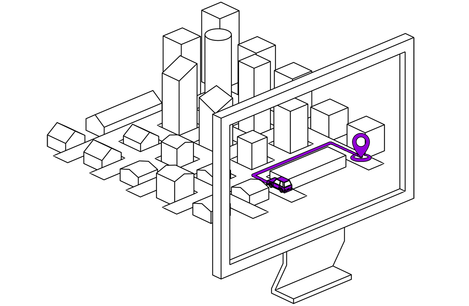
Hivekit persists every location update or datapoint and makes it available through its API and SDKs. Whether you need to retrace historical events, evaluate performance bottlenecks, or visualize paths taken, Hivekit Cloud's storage capabilities make it possible.
It is surprisingly challenging to build the infrastructure necessary to run large-scale spatial apps, be it for ride-sharing, delivery tracking, logistics, staff management, or site coordination.
Modern cloud offerings are geared towards short-lived, largely stateless request/response communication, where it is easy to scale server clusters up and down based on demand. Handling the long-lived, stateful, persistent connectivity required for spatial end-user apps is a largely underserved use-case.
This is especially true when it comes to executing logic based on spatial events, e.g., sending you a notification if your delivery rider gets close to your door. Stream-processors and business rules engines are hard to set up and run and are largely geared for non-time-sensitive batch processing. Having Hivekit's logic scripts that are instantly and automatically evaluated for every data point provides an easy and scalable solution, letting you focus on creating stunning end-user experiences rather than handling complex infrastructure.

We'd love to discuss your usecase and share more details: