Areas
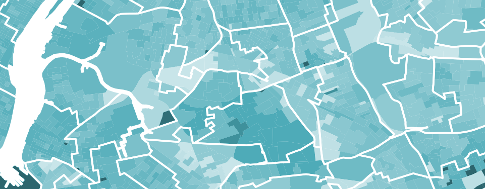
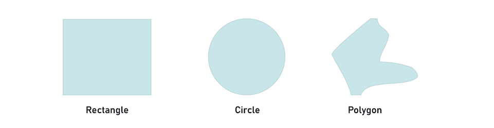
Areas let you specify borders around a section of a map. They come in three shapes:
Areas are integrated with all other Hivekit concepts and can be used for a number of things:
Interactive Visualisations
On the most basic level, areas help you to visualize sections within your zone of operation. That can be districts within a city for your taxi dispatch, coverage areas for your food delivery startup, or security zones for your mining site. The meta-data associated with each area makes it easy to store settings such as color or border styles. But visualisations don't have to be static. Using HiveScript rules it is possible to highlight areas based on the objects within - e.g. to show districts within a city that have to few taxis in them or to flash areas that were entered by an employee with insufficient security clearance.
Subscriptions
Object subscriptions can be scoped to a given area. This allows you to limit your datafeed to e.g. only show people or vehicles within the area of operation around a fullfilment center or to see all scooters with low battery charge within a given city district.
Automations
Referencing areas in HiveScript rules allow you to trigger behaviors based on objects entering or leaving an area. This allows you, for instance, to notify an HTTP Webhook whenever a co-worker enters the lobby area, adjust ventilation based on the number of people in a given room or track vehicle proximity within a high-risk area.
Roaming Geofences
Areas don't have to be static. They can change their shape and move around the map. This makes it possible to create roaming geofences - e.g. to notify workers around moving vehicles switching zones within an AR game.